
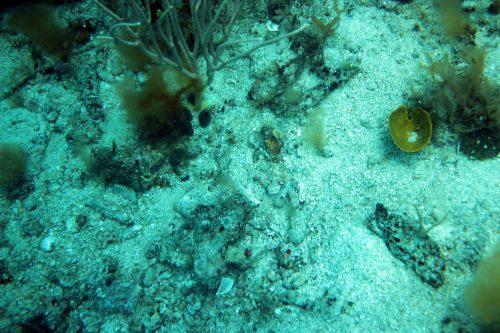
Geo Oceans was engaged to perform a bathymetric and habitat mapping survey prior to the arrival of construction vessels to the Airlie Island site, offshore of Onslow in Western Australia. Proposed anchoring locations and safe approach channels were accurately mapped and surveyed for sensitive marine habitats, raised features and bathymetry using towed camera and multibeam echo sounder systems.